Concrete nature and environment protection is only possible on basis of recent and complete data. Therefore detailed mappings and the construction of registers is essential for the planning of nature protection measures and the monitoring of the landscape development.
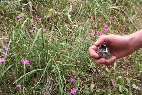
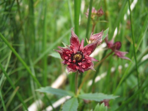
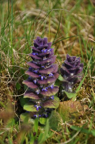
The main focus is on the mapping of habitats, nature protection sites as well as the inventory of endangered plant and animal species. With the work the specialists of the Öewersauer Nature Park help to improve the knowledge on the species and habitats of Luxembourg. Here they collaborate with the ANF and the National Museum of Natural History. As a result all data from the nature park can be collected in the data base “Recorder”.
Connected to this, it should be mentioned that by now an area-wide inventory of protected meadows (green land mapping), habitats (habitat register) and hedges (hedges register) is available for the territory of the nature park. The occurrence of invasive species is also monitored and mapped on the territory of the nature park.


